West-Central Adirondacks
Black River Wild Forest
Gull Lake
![]()
| CNY Hiking HOME PAGE | Black River Wild Forest | West-Central Adirondacks |
|
Hiking in the
Adirondacks West-Central Adirondacks Black River Wild Forest Gull Lake
|
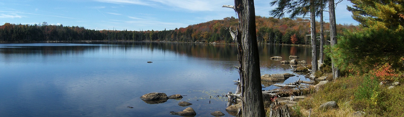
Gull Lake is one of the more popular destinations in the Black River Wild Forest. It has a lean to located at a scenic spot on the northern shore of the lake. Numerous tenting sites nearby show the popularity of the lake. From the Bear Creek Road parking area it is a 3.5 mile hike to Gull Lake. There are many large rocks that line the shoreline that offer nice views of the lake. From a newer parking area along Mill Creek road it is ONLY 1.3 miles to this scenic lake.
There is a small parcel of private land on the northeast corner of the lake, otherwise the rest of Gull Lake is on state land. After starting from the large parking area at the end of Bear Creek Road, follow the woods road known as Mill Creek Road past the kiosk. This road leads to private property and it was recently graded, making it driveable with most vehicles. It is a 2.2 mile drive along this road to the Gull Lake Trail junction. Bring your bike and ride to the junction if you want or just drive your car to the small parking area.
From the small parking area, the trail to the left is part of the Bear Creek Trail, while the trail on the right is the Gull Lake Trail. Mill Creek Road continues straight. Turn right and follow the Gull Lake Trail. The trail is real nice although some of the trail suffers from erosion caused by ATVs. At 0.6 miles reach another junction. The trail to the left travles to the Gull Lake Lean To, while the trail on the right goes 2.1 miles to the Chub Pond Trail (DEC sign says 1.2 miles). While maps show that you could create a Gull Lake Loop Hike, the other trails that create the loop have not been maintained as they should (2017).
If you decide to continue straight, there are side trails that lead to vantage points on the lake if you walk this old road. At 0.4 miles there is a short herd path on the left that travels to a beaver dam on the lake outlet. At 0.5 miles cross a small stream. At 0.7 miles from the junction you'll reach a bridge that crosses the Gull Lake Outlet. It's another 1.4 miles to the junction of the Chub Pond Trail. But this trail is not well maintained (2017).
Back at the junction to the Gull Lake Lean To. The DEC sign says its only 0.4 miles to the shelter. It is actually 0.7 miles to the shelter. The trail winds its way around bays and marshes, ups and downs before finally taking you to the shelter located at a scenic spot on Gull Lake. It is 1.3 miles from the newer parking area to the shelter. There are some tenting sites to the right of the lean to.
Directions: From Utica take NY 12 North to NY 28 North at Alder Creek. In Woodgate at the blinking light turn right off NY 28 onto Bear Creek Road. Drive to the end of the main road to the large parking area on the left. The GPS coordinates of the large parking area is N43 32.463 W75 06.101. The smaller parking area along Mill Creek Road at the Gull Lake Trail junction, the GPS coordinates are N43 33.557 W75 04.399.

Gull Lake Lean To
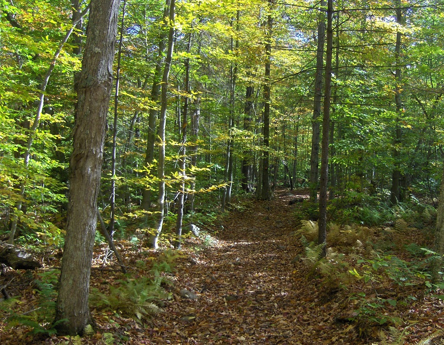
Gull Lake Trail

| CNY Hiking HOME PAGE | West-Central Adirondacks | Black River Wild Forest |
