Sugar Hill
State Forest
![]()
| CNY Hiking HOME PAGE | Hiking in Schuyler County | FLT Central Section | NCT in Central New York | FLT Mile by Mile |
|
North Country Trail Sugar Hill State Forest
|
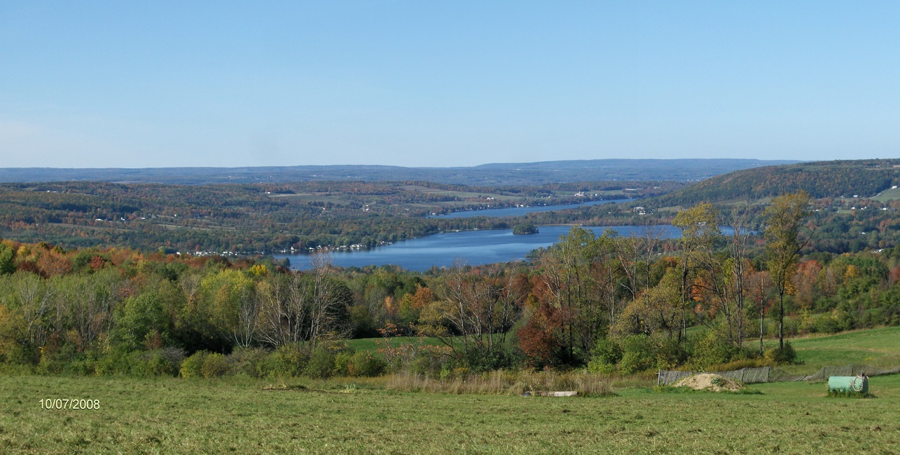
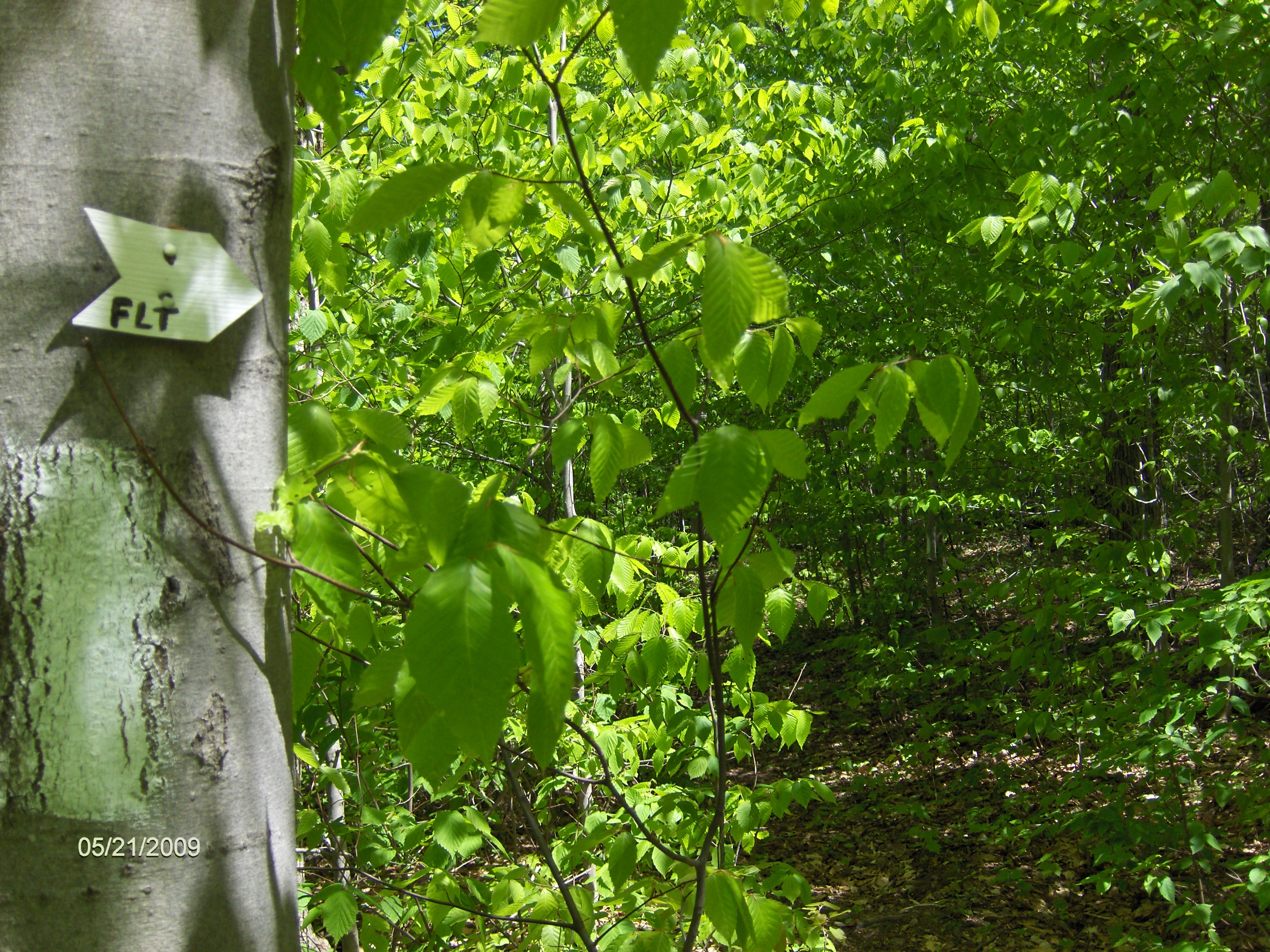
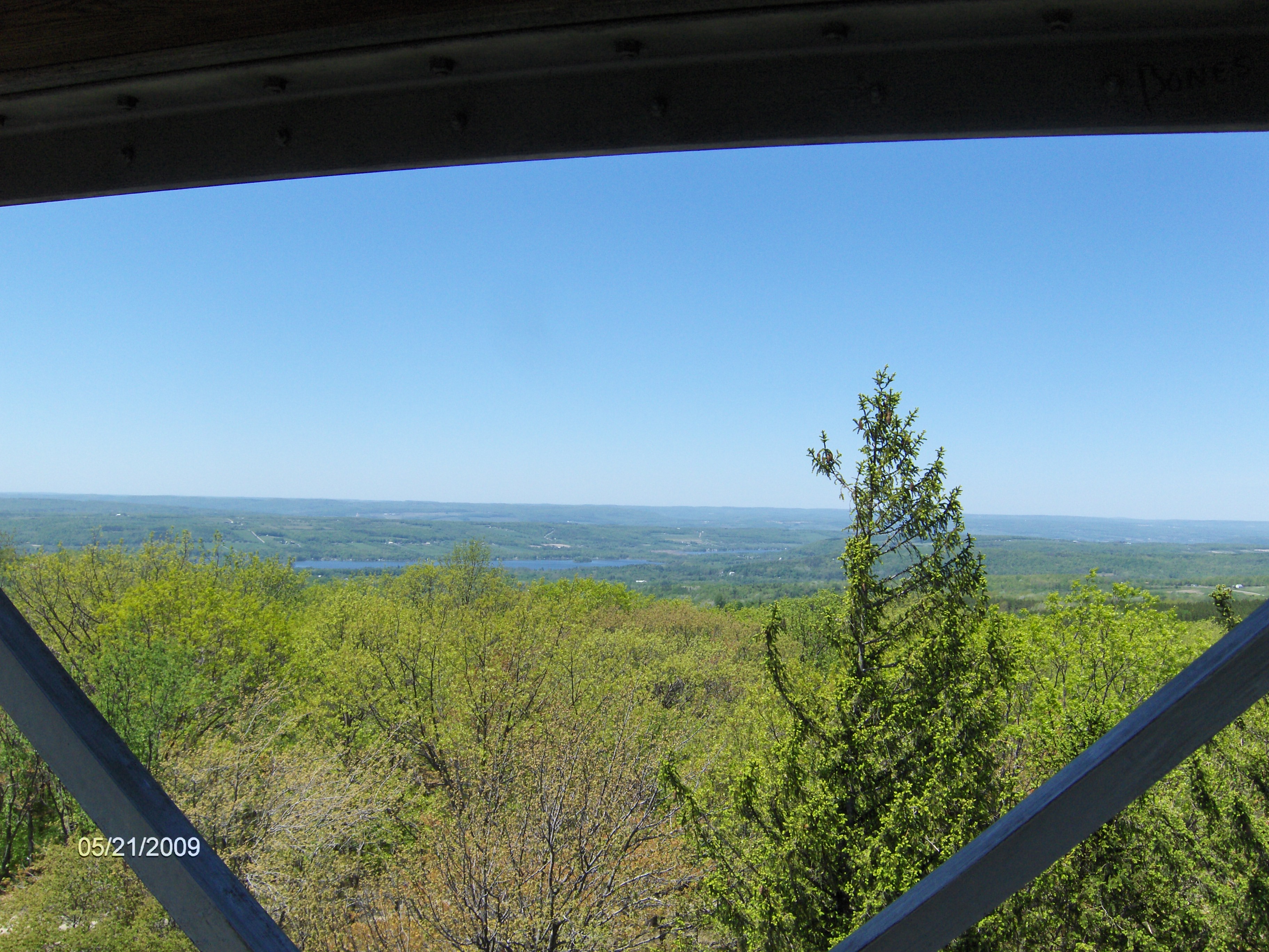
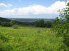
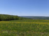
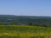
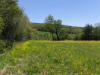
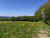
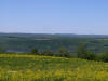
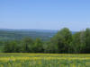
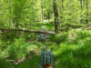
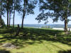
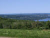
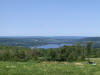
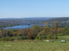
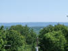
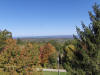
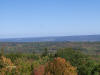
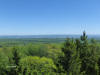
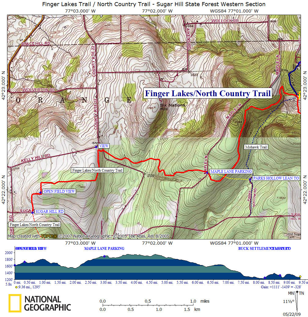
This section of the Finger Lakes Trail / North Country Trail begins off of Sugar Hill Road. The trail heads north into private property and has numerous turns for the first mile. During this section there are views as you walk along the side of a field and a trail register. The trail enters Sugar Hill State Forest and there is a side trail to a fantastic view (see panorama above) as well as an old cemetery.
The trail crosses County Route 22 and winds toward Maple Lane. At the Maple Lane crossing there is a DEC parking area. The trail bends and crosses a old road which if you turn right it will lead you steeply down 0.2 mile to the Parks Hollow Lean To.
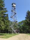
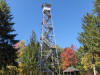
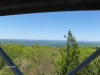
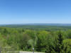
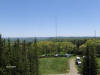
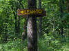
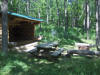
The trail next passes the Mohawk Trail, turning left will take you to a lean to and the Sugar Hill Fire Tower. The views from the fire tower are excellent and worth the side trip. There are flushable toilets (very clean!) and many camping spots near the fire tower. In another 0.1 mile there is another side trail on your left that leads to another lean to.
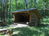
The trail next crosses County Route 21, then will cross the Seneca Trail which is along the abandoned section of Locust Lane. The trail now will turn and follow Van Zandt Hollow, before turning again and passing by Bucks Settlement Lean To.
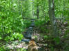
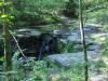
The trail follows a couple of old roads before passing by a waterfall and crossing Glen Creek. Now the trail crosses Templar Road and then crosses Van Zandt Hollow Road before ending back on Van Zandt Hollow Road.
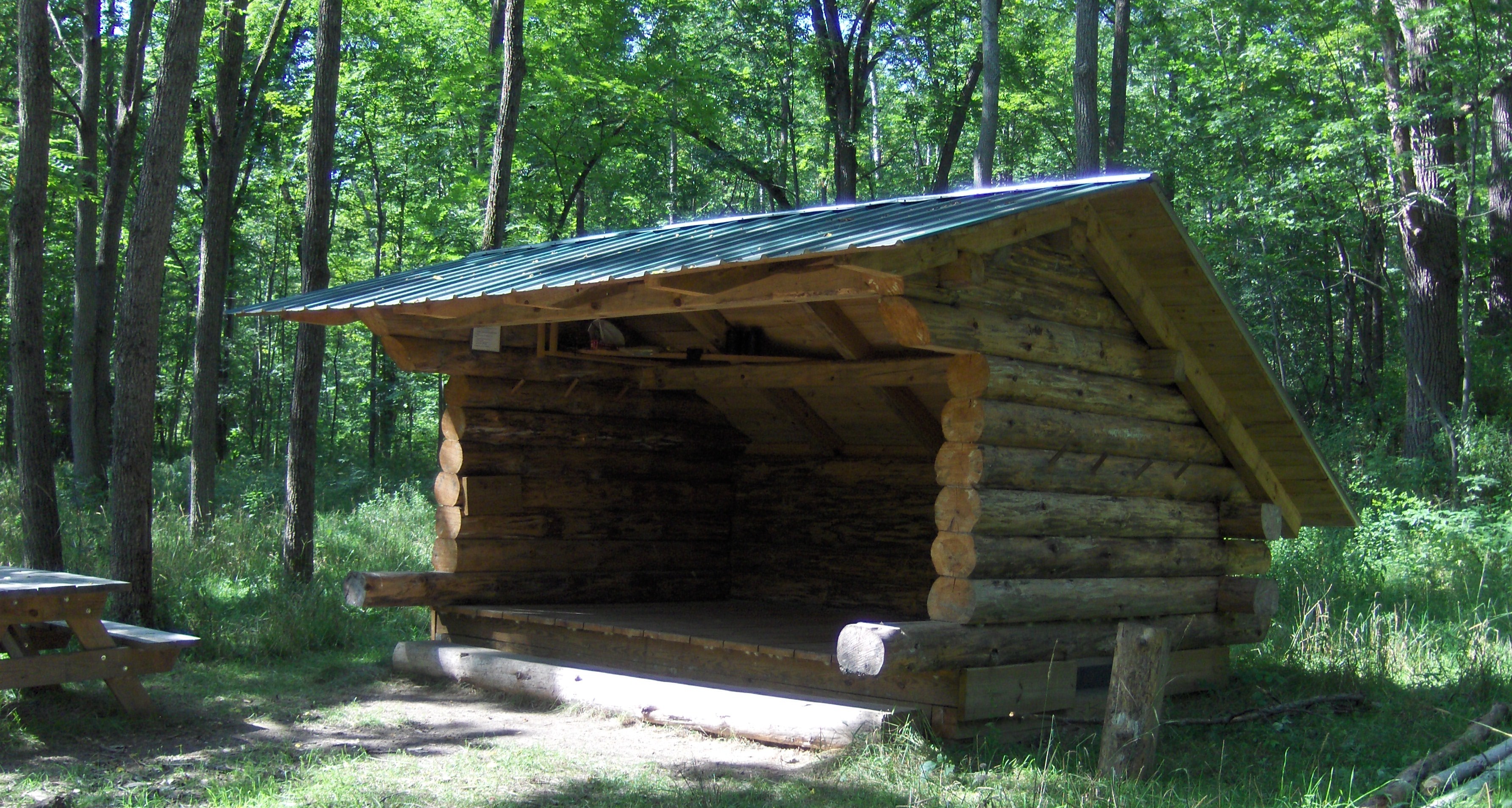
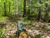
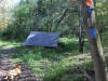
Buck Settlement Lean To in Sugar Hill State Forest
Mile Elevation Description 0.0 1623 feet Trail crosses Sugar Hill Rd. Very little roadside parking here. Follow farm lane.
0.2 1673 feet Trail veers right.
0.3 1714 feet Trail turns left. View on your left as you walk along side of field.
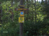
0.4 1691 feet Trail register.
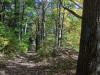
Trail turns right and soon enters woods.

1.1 1752 feet Trail veers left.
1.4 1694 feet Trail turns right. Short trail straight ahead leads to a vista at old cemetery to a great view.
Entering Sugar Hill State Forest.
1.5 1623 feet Cross County Route 22. Some shoulder parking.
2.0 1539 feet Begin ascending to Maple Road.
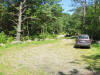
2.9 1884 feet Cross Maple Road and enter DEC parking area. Trail enters pine forest at end of parking area.
3.2 1846 feet Junction of blue blazed trail that descends steeply (over 200 ft) 0.2 mile to Parks Hollow Lean To.
4.8 1916 feet Cross Mohawk Trail. By turning left on Mohawk trail leads 0.4 mile to Sugar Hill Fire Tower. Camping area, water and flushable toilets are available there. Finger Lakes/North Country Trail continues straight.
4.9 1892 feet Junction of blue blazed trail on left that leads 0.2 mile to two new lean tos.
5.8 1714 feet Cross County Route 21.
7.2 1454 feet Cross the abandoned portion of Locust Lane, which is now the Seneca Trail. Turning left leads to VanZandt Lean To.
7.6 1296 feet Entering VanZandt Hollow.
8.2 1253 feet Buck Settlement Lean To.
Trail ascends up a pre 1850's road.
8.6 1366 feet Trail turns left on old road. To the right leads to Locust Lane.
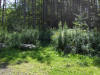
8.7 1330 feet Old Buck Settlement Cemetery is on the left.
8.8 1258 feet Waterfall on left. Cross Glen Creek.
8.85 1294 feet Cross Templar Road and climb steeply. Parking.
9.25 1278 feet Cross Van Zandt Hollow Rd.
9.3 1264 feet Turn left on Van Zandt Hollow Road.
9.4 1295 feet Trail turns left off road and into PRIVATE PROPERTY. TRAIL IS CLOSED here during HUNTING SEASON OCT 15-DEC 21. Please use Hunting bypass during those dates. End of this section. For a continuation, please see Watkins Glen State Park.
| CNY Hiking HOME PAGE | Hiking in Schuyler County | FLT Central Section | NCT in Central New York |
| Sugar Hill State Forest | Hiking in Central New York | Watkins Glen State Park | FLT Mile by Mile |