West-Central Adirondacks
Black River Wild Forest
Stone Dam
Lake
![]()
| CNY Hiking HOME PAGE | Black River Wild Forest | West-Central Adirondacks |
|
Hiking in the
Adirondacks West-Central Adirondacks Black River Wild Forest Stone Dam Lake
|
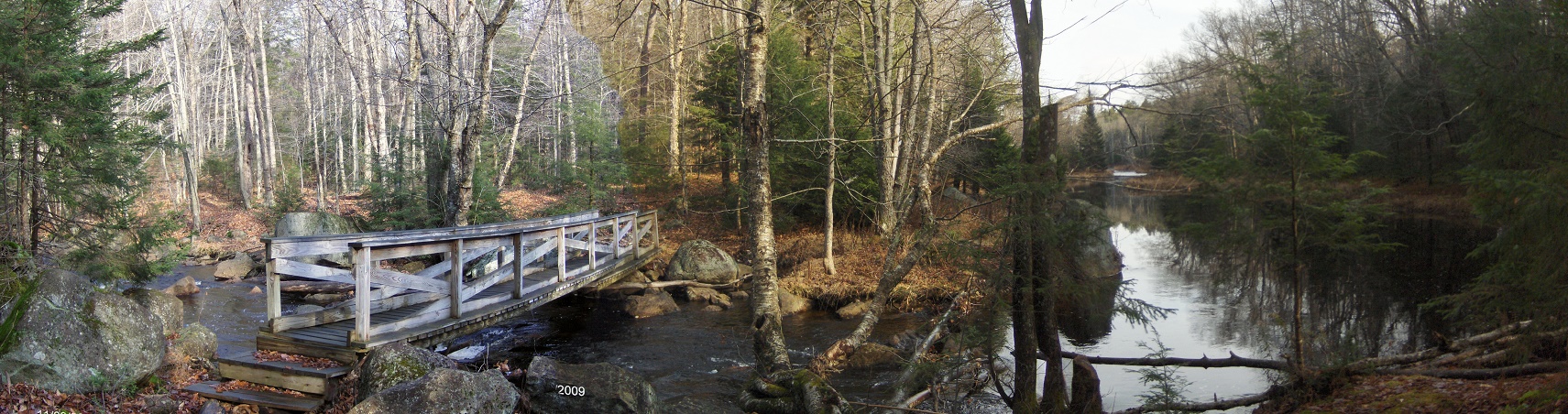
The main feature of this hike is Stone Dam Lake in the Black River Wild Forest of the Adirondacks. There is a scenic spot at the bridge over Little Woodhull Creek that is worth a short hike. Part of this trail has been proposed to become the future North Country Trail from North Lake Road to near Stone Dam Lake. The lake isn't very large and it honestly doesn't receive to many human visitors.
From the trailhead along North Lake Road, follow the yellow DEC discs along an old woods road. At 0.4 miles the trail crosses "Mulchy Spring" Brook on a small footbridge. At 0.9 miles you'll reach the footbridge at the scenic crossing of Little Woodhull Creek. This is a great spot for a picnic. After crossing the creek, the trail becomes fainter and a bit harder to follow. You can tell that most visitors on this trail make Little Woodhull Creek as their destination.
At one mile of hiking you'll start to notice large boulders randomly "tossed" in the area. At 1.15 miles the trail passes by "Big Boulder". In another 0.3 miles the trail travels through a very wet section. At 1.6 miles the trail is next to a small "ravine" and will eventually descend into this glacial anomaly. At 1.9 miles the trail reaches a line of large boulders along a hillside and veers right.
From near this point, the trail was relocated closer to the side of Stone Dam Mountain, rather to closer to Stone Dam Creek (as its shown on most topo maps). I read that this was done due to the wetness of the area and the new DEC trail standards to keep trails away from streams whenever possible. At 2.2 miles the trail is ascending Stone Dam Mountain. At just 1801 feet, this "mountain" is nothing more than a small hill. The trail never reaches the "summit", but at 2.7 miles you'll reach an elevation of 1768 feet and the highest point along the trail on the mountain. You'll have winter views to the east and at 2.9 miles is your first view of Stone Dam Lake.
The trail never gets any closer than a couple hundred feet from the lake and we didn't notice any herd paths that lead to the shore. You will need to bushwhack toward the shore. The trail crosses a small stream at 3.2 miles and the Stone Dam Trail continues another 2.3 miles to Chub Pond. From this point the trail becomes fainter and tougher to follow. You will really need to keep an eye on the trail markers. Very few folks take this route to Chub Pond. If you do decide to take this route, be sure to remember that at about 2.1 miles from Stone Dam Lake (just 0.2 miles from Chub Pond), the trail has to cross a large beaver obstacle.
The future North Country Trail has been proposed to follow the Stone Dam Trail up to Stone Dam Lake. We are unsure how the builders of the trail will find a route between Stone Dam Lake or even Chub Pond to Little Woodhull Lake and then on to Ice Cave Mountain. There are numerous obstacles for a trail to be built in this area. It will be amazing to see what the trail builders from the ADK-Onondaga Chapter does with this exciting new long distance trail.
Directions: From Alder Creek, take NY 28 north to just past the bridge over the Black River/Forestport Reservoir. Turn right onto road toward Forestport, then right at bottom of ramp onto North Lake Road. Take North Lake Road into Adirondack Park and there is a trailhead sign plus wide shoulders for parking along the left side of the road. The GPS coordinates of the trailhead is N43 27.416 W75 03.964.
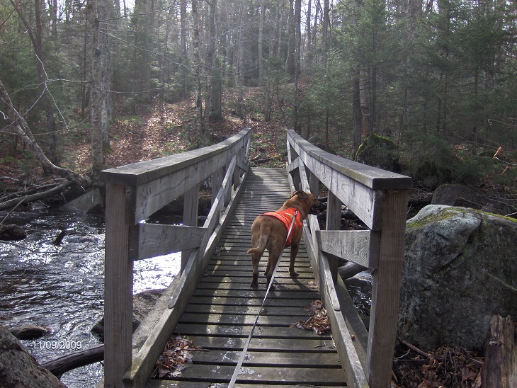
Crossing Little Woodhull Creek
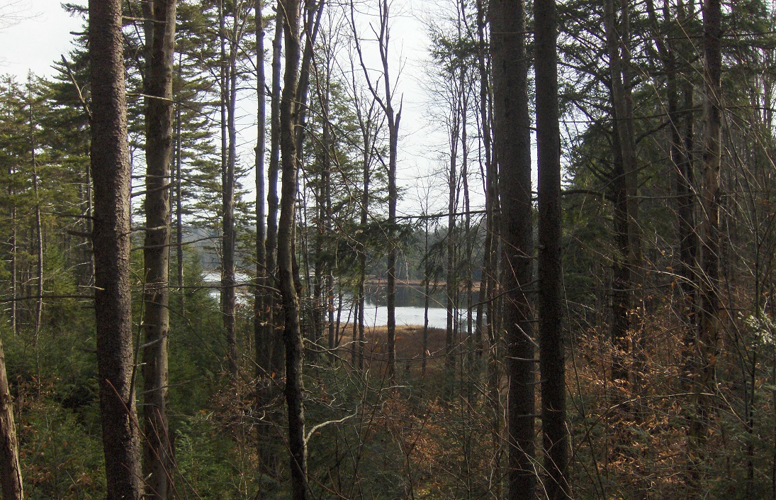
Stone Dam Lake through the trees

| CNY Hiking HOME PAGE | West-Central Adirondacks | Black River Wild Forest |